EUROPEAN JOURNAL OF APPLIED SCIENCES • DOI:10.14738/AIVP.105.12962
Geomorphological analysis is useful for managing land resources and aid in resource inventory, mapping, and management for a variety of purposes. The science of geomorphology is now better able to comprehend surface dynamics because to recent improvements in remote sensing and GIS, the availability of satellite-based DEM, and improvements in mathematical modelling skills.
Kuldeep Pareta
Tirumaleswara Reddy
BOOK CHAPTER • ISSN 2198-3542
Hydro-Geological investigation and Groundwater Resource Estimatio
The Journal of Open source software • 8(90), 5548
Department of Geosciences and Natural Resource Management, University of Copenhagen
Journal • Jul 5th '22
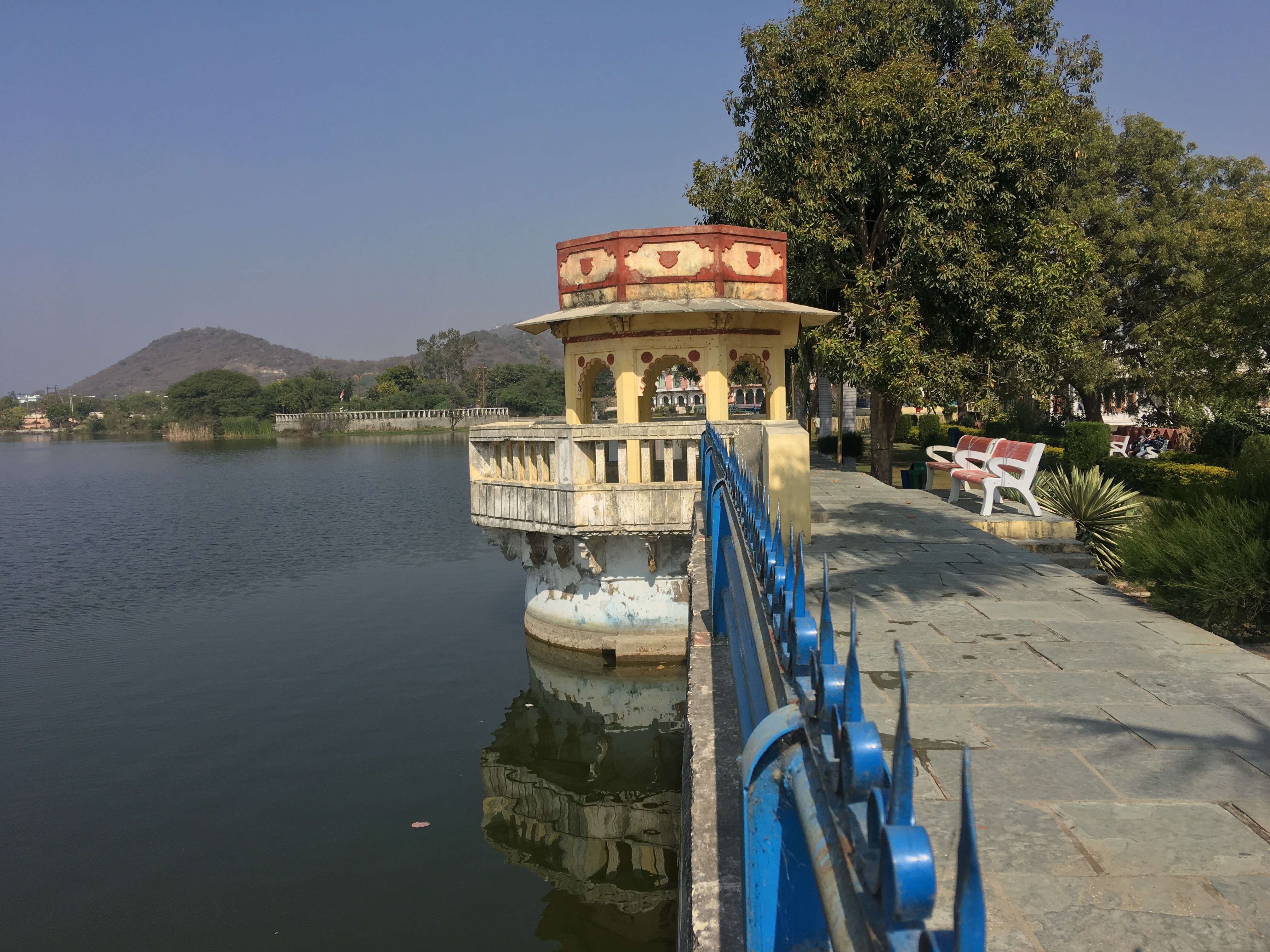
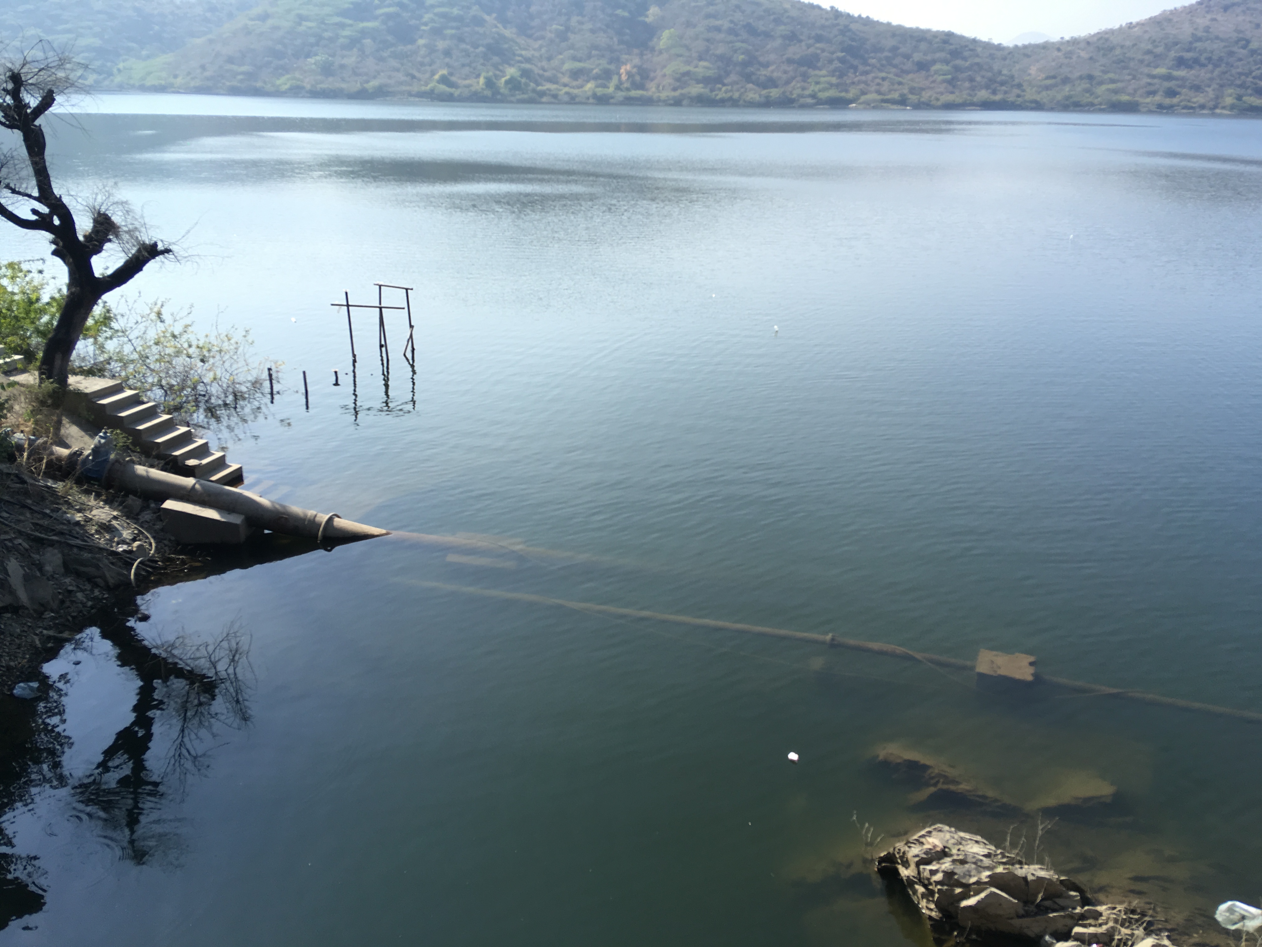
Water scarcity has been a long-lasting problem in Udaipur despite the several man-made lakes. Due to excessive usage, the stage of groundwater development in the Ayad river basin, Udaipur has reached 101.88%. The study has focused on hydrological and hydrogeological investigations to estimate and project the groundwater resources using data collected from various sources.